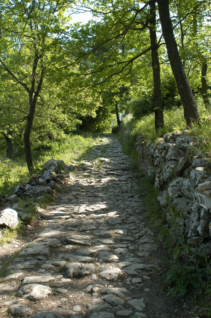
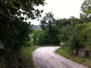
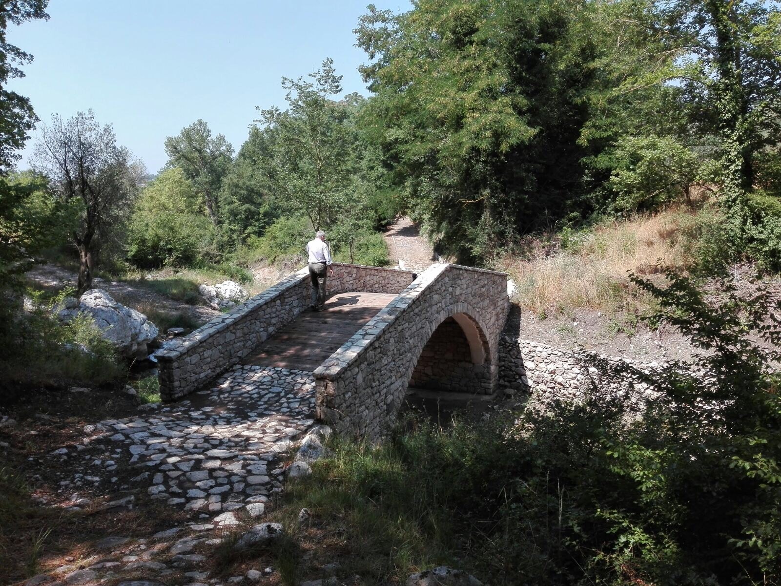
Leaving the bridge behind Padre Pio and his family would turn left and knew they were in for a climb up a rocky slope. I must admit, this section, although only about 100 meters long, is a bit of a challenge for the ‘over 60’s’. Still it is not so bad and we have done it many, many times.
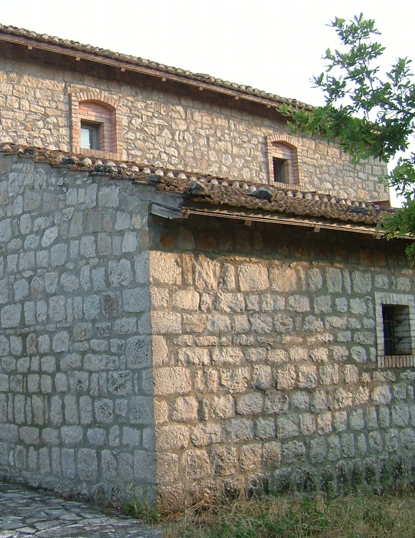
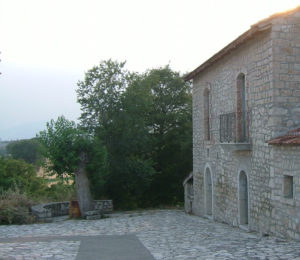
When the hill flattens out he would come to the farmhouse belonging to the Frangioso family. Perhaps he stopped and said “Buongiorno” or “Buona sera”. He might even have stopped for a friendly chat or said a quick prayer with them.
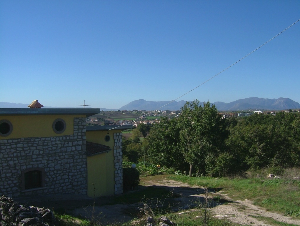
Whatever the significance, the last owner of the house who lived in America, left it to the town in her will and it is preserved and looked after by the Commune in Pietrelcina.

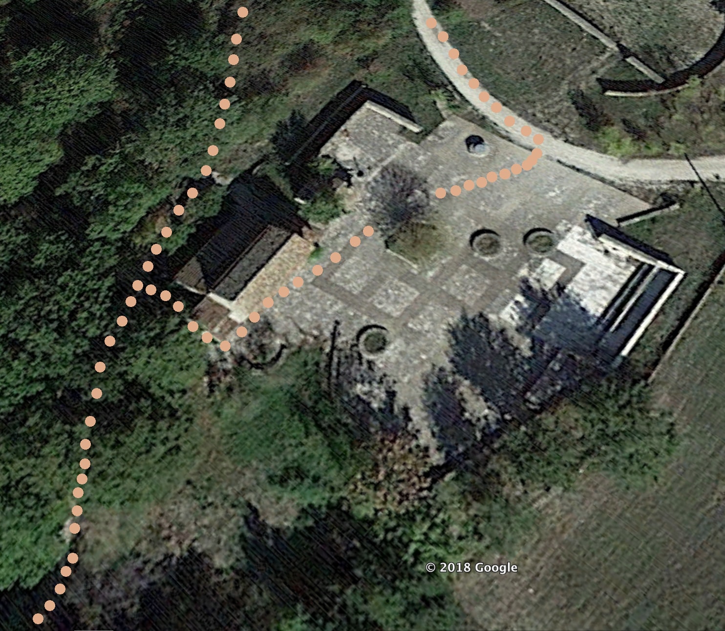
 Since we are now in the 21st century, we can use an image from Google maps, to show the two routes you can take when you reach the stone farmhouse. You can keep going straight on the rough path or you can take a temporary diversion by entering into the paved area in front of the house. This will take you back to the Rosary Walk in 50 meters by a more manageable route.
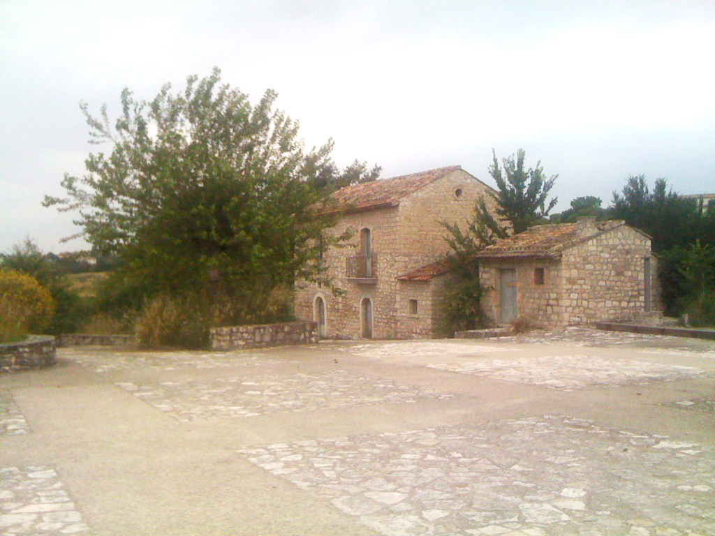
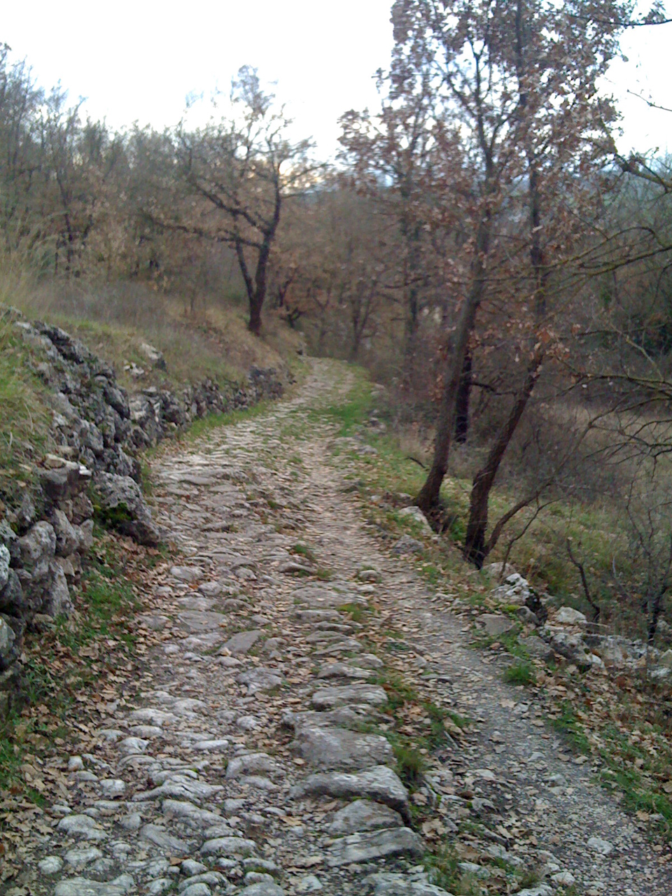
 Either way, you will soon pass some farmhouses and all the rough ground will be behind you. The shady, closed views of the path will now open up into wide vistas of farmland and vines
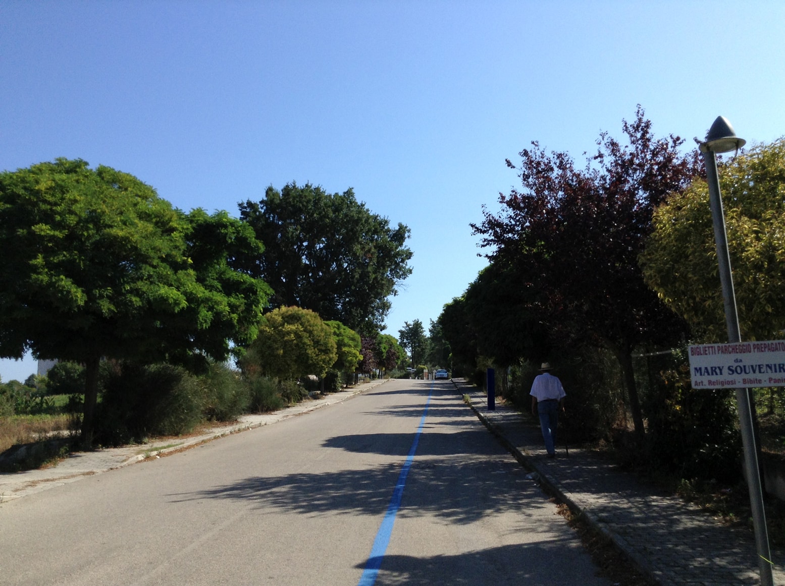
You will now be able to travel along well maintained roads and, like Padre Pio before you, you have now reached the plain of Piana Romana
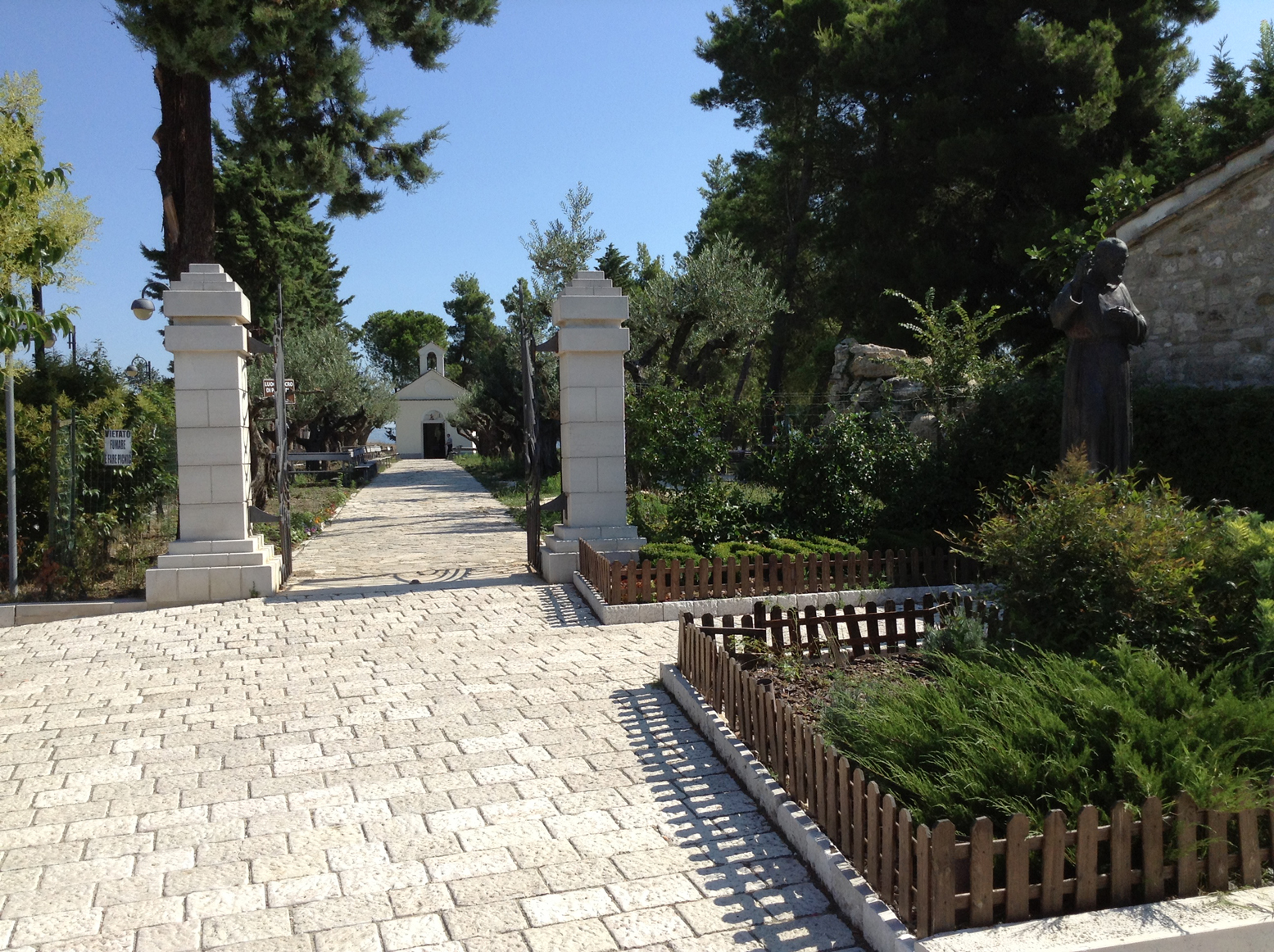
The roads here are well signposted and it is about a 15 minute walk to reach the shrine
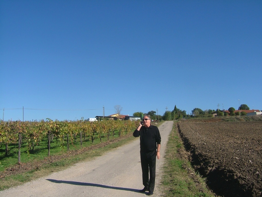
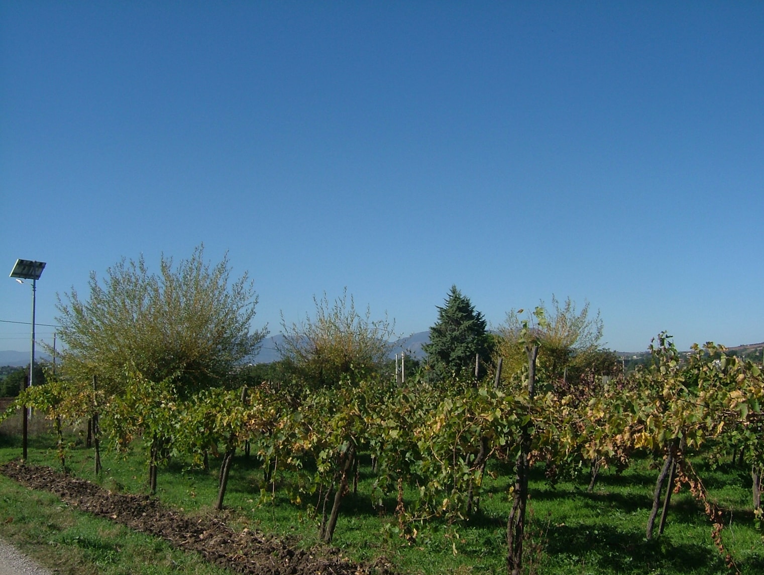
You will now be able to travel along well maintained roads and, like Padre Pio before you, you have now reached the plain of Piana Romana
The roads here are well signposted and it is about a 15 minute walk to reach the shrine
Deo Gratias
Video made in 2010 from a collection of photos
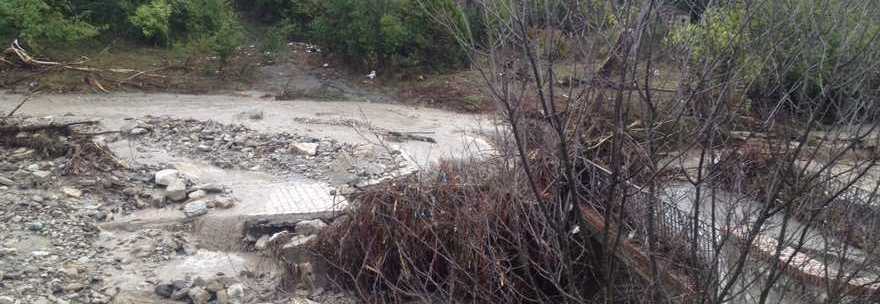
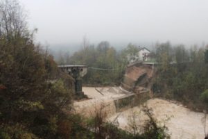 The reason I am mentioning this detail is because it is important to know just how widespread and devastating this flooding event was.